Elevate Your Vision
Capture stunning aerial photography and highly accurate geospatial data for your projects.
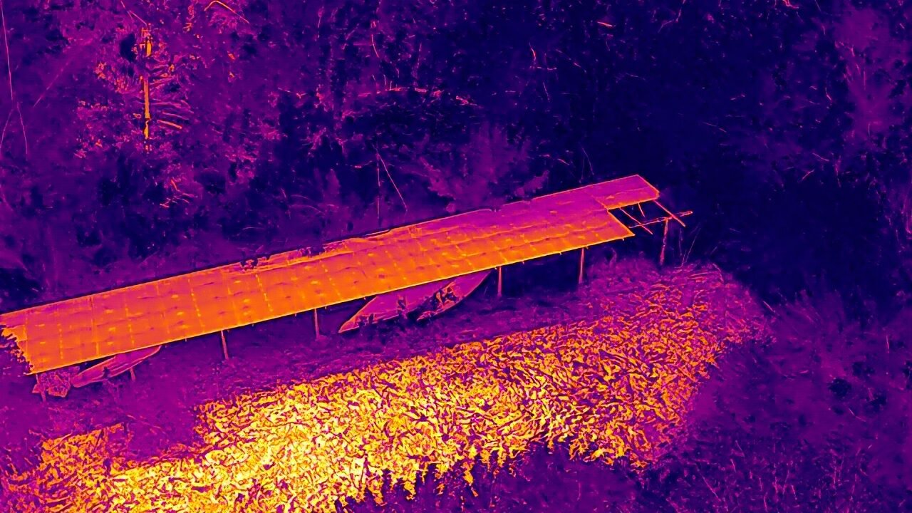
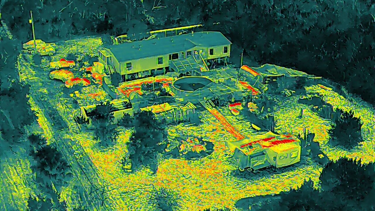
Now offering 3-D modeling & multi spectral / thermal services.
Aerial maps tailored to fit your location
IronRed
Pioneer Drone Services
At Pioneer Drone Services, we specialize in aerial photography and geospatial data solutions, delivering high-quality imagery and insights for various industries. We also offer multi spectral photos and videos


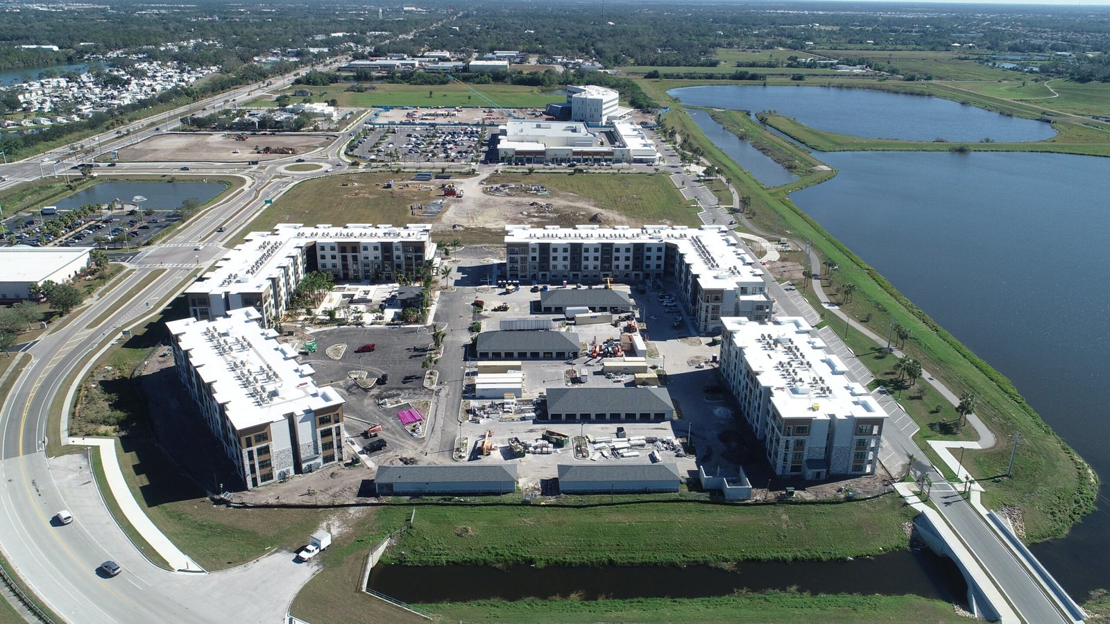
Aerial Photography & Videography Services

Capture stunning aerial images that showcase your special event from a unique perspective.

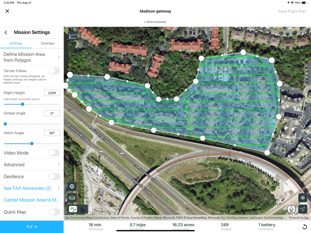
Utilize advanced geospatial data for accurate mapping and analysis tailored to your needs.

Enhance your business with professional drone services for inspections, surveys, and promotional content.
Aerial Imaging Solutions

Geospatial Data Experts
Our projects showcase innovative aerial photography and precise geospatial data collection, delivering high-quality visual insights and analytics tailored to meet diverse client needs across various industries.

Precision Mapping Services
We specialize in creating detailed maps and models using advanced multi spectral drone technology, ensuring accuracy and efficiency for land surveys, construction planning, and environmental monitoring projects.

Custom Drone Solutions
Our tailored drone services cater to unique project requirements, providing exceptional aerial footage and data analysis that empower businesses to make informed decisions and enhance operational efficiency.

Innovative Survey Techniques
Utilizing cutting-edge drone technology, we implement innovative survey techniques that streamline data collection processes, offering clients comprehensive insights and actionable intelligence for their projects.
Elevate Your Vision
Capture stunning aerial photography and precise geospatial data to enhance your projects and decision-making processes today.