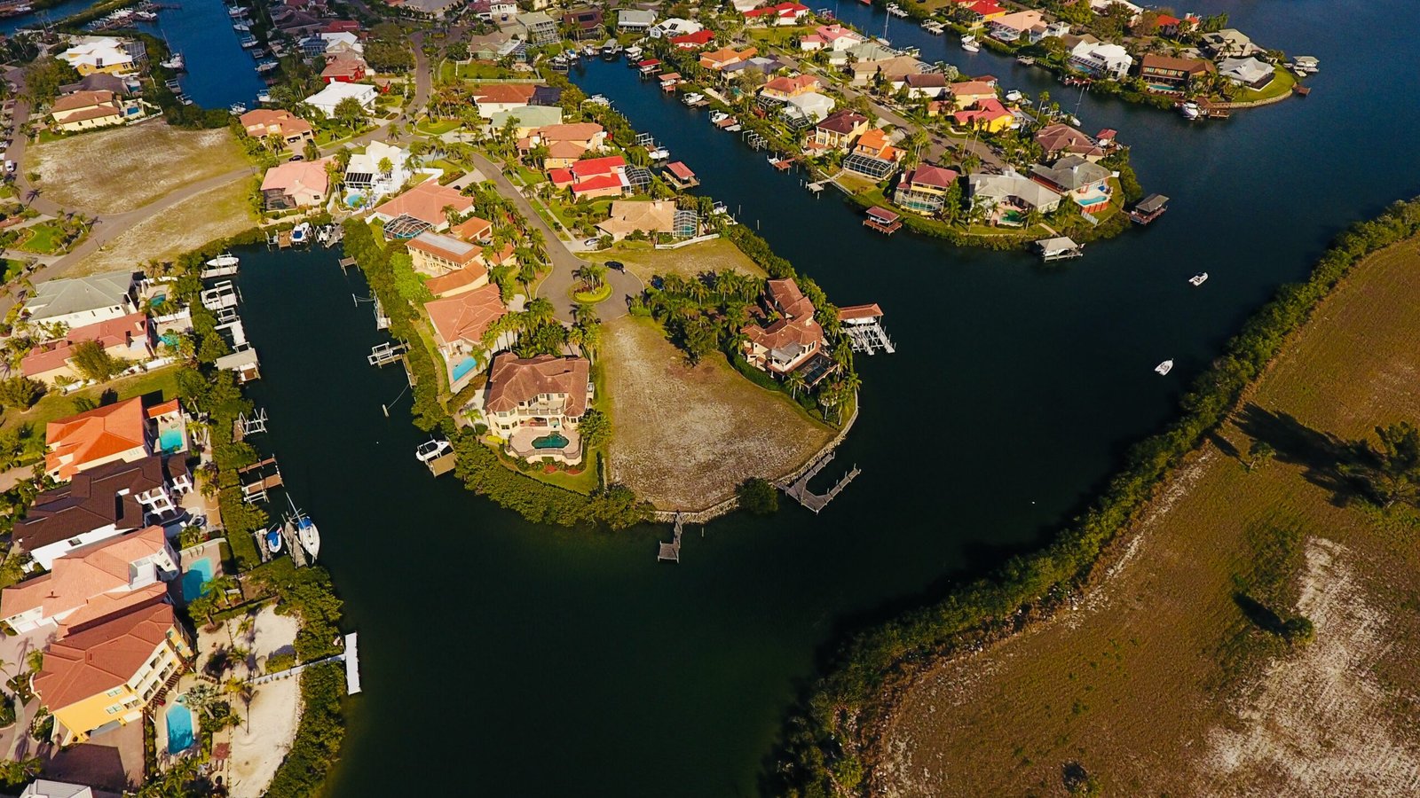
Aerial Photography Services
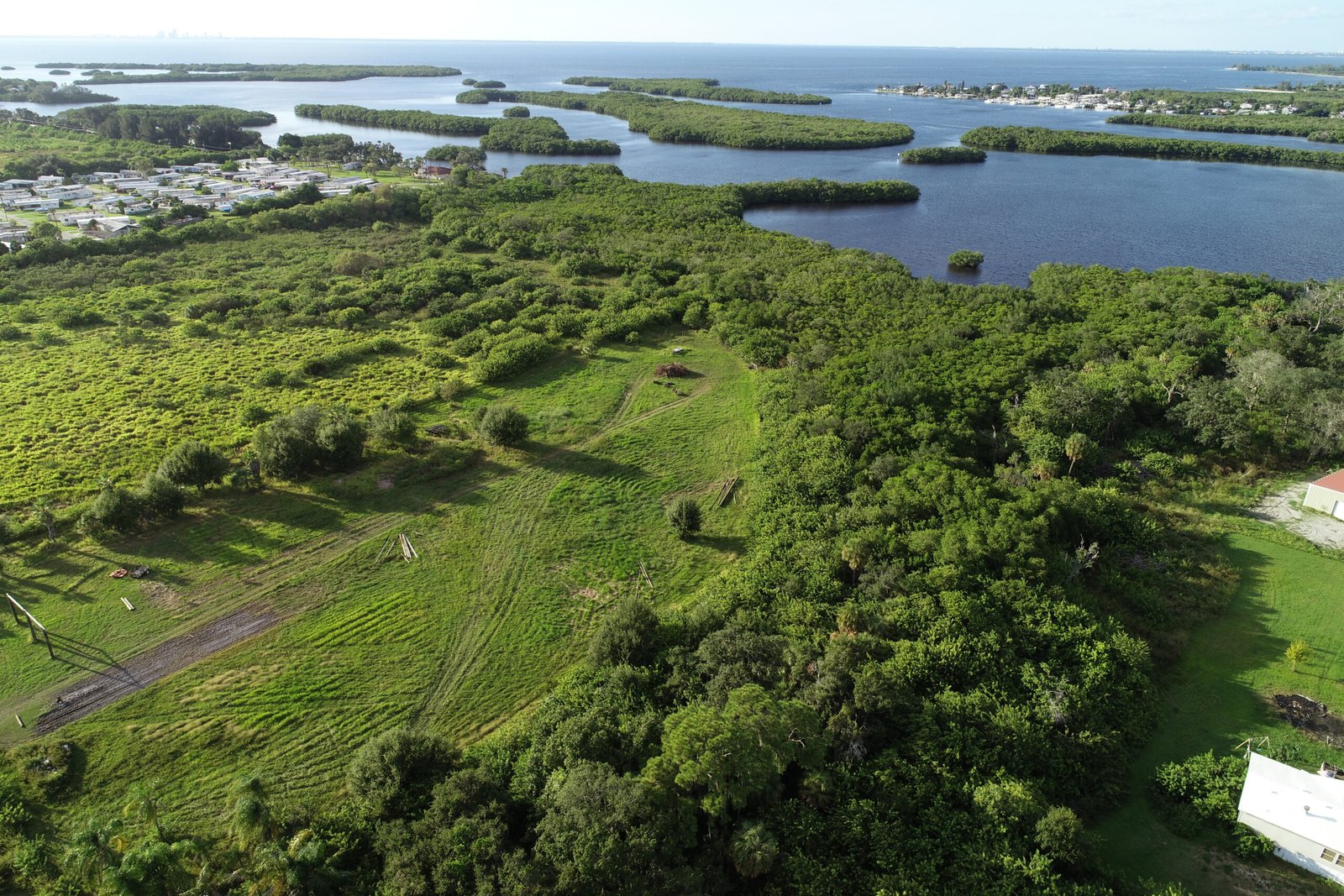
Capturing stunning aerial images for various applications including real estate and events.
Providing precise geospatial data analysis to support informed decision-making and project planning.
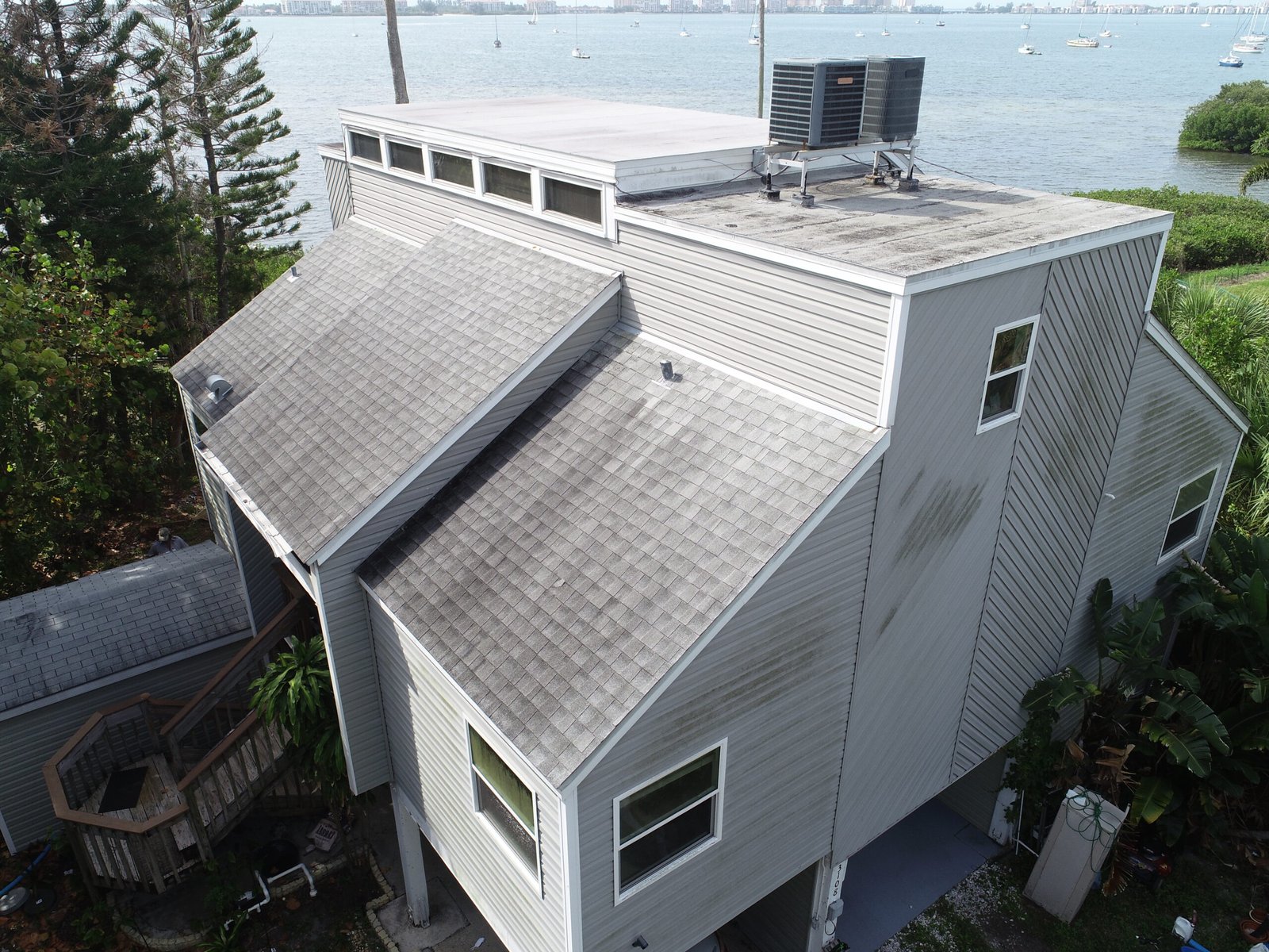
Utilizing advanced drone technology for high-quality imaging and data collection tailored to your needs.

Aerial Imaging
Pioneer Drone Services specializes in aerial photography and geospatial data, capturing stunning visuals and precise information from above.
Geospatial Insights
Precision Data Collection
Our drones provide high-quality data for analysis, mapping, and decision-making.
High-Resolution Capture
High-Resolution Capture